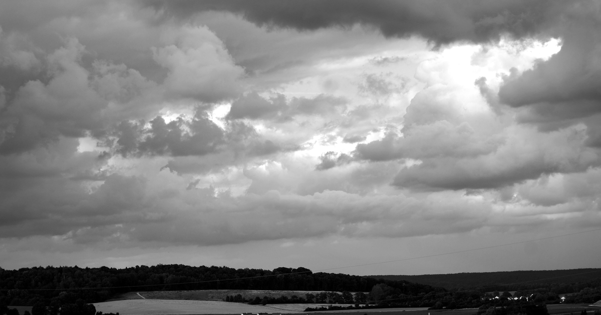
Germany’s national weather service, the German Weather Service (Deutscher Wetterdienst, or DWD), is warning of severe thunderstorms across much of the country on Friday, July 17. As a low-pressure system pushes into the hot, humid air that has settled over Germany, forecasters expect heavy rain, large hail and strong gusts, with the south and east most exposed. The storms follow weeks of heat and dry ground, which can make sudden downpours more likely to cause local flooding.
The forecast at a glance
- When: storms building Thursday afternoon, most widespread and severe on Friday, July 17.
- Where: much of Germany, with the south and east (Baden-Württemberg, Bavaria and eastern regions) most at risk; the northwest is largely spared.
- Heavy rain: around 25–40 litres per square metre in a short time, locally near 50.
- Hail and wind: hail of 2–5 cm and severe to hurricane-force gusts of 90–120 km/h possible in places.
- Not ruled out: isolated supercells and, in a few spots, a tornado.
What is happening
For days, much of Germany has sat under very warm, humid air. A low-pressure system is now moving in and breaking up that heat, and the clash of air masses is what fuels strong thunderstorms. The DWD expects the most intense activity on Friday afternoon and evening. Thunderstorms are hard to pin to an exact town more than a few hours ahead, so the practical approach is to watch the warnings for your area during the day rather than rely on a forecast made the day before.
Which regions are most at risk
According to the DWD, the south and east are likely to be hit hardest, with Baden-Württemberg, Bavaria and eastern parts of the country facing the greatest chance of severe storms. The northwest, toward the Lower Rhine, is expected to see the least. That said, thunderstorms can form and move quickly, so a region that looks calm in the morning can still be affected later in the day.
How the German warning system works
The DWD issues colour-coded warnings that rise from yellow (be aware) through orange (severe) to red (very dangerous), plus a highest “extreme” level for exceptional events. You can check live warnings for your exact location on the DWD website (dwd.de) or through the free official “WarnWetter” app. The nationwide public-warning app “NINA,” run by the federal civil-protection office, also sends storm and flood alerts for wherever you are.
What it means for people living in Germany
If you are in an affected region on Friday, a few simple steps go a long way. Bring in or tie down anything loose on balconies and in gardens — furniture, umbrellas, plant pots — because strong gusts turn them into hazards. Avoid parking under trees, and if you are outdoors when a storm hits, get inside a building or car rather than sheltering under a tree. Give yourself extra time to travel: heavy rain and fallen branches can delay trains, trams and flights, and underpasses can flood quickly. If you cycle, check the radar before setting off. And if a red or “extreme” warning is issued for your area, take it seriously and stay indoors until it passes.
There is no need for alarm — severe summer thunderstorms are a normal part of the German season — but they are worth preparing for. Checking the DWD or NINA app on Friday morning is the easiest way to know whether your plans need adjusting.
Reporting based on forecasts and warnings from the German Weather Service (Deutscher Wetterdienst, DWD). Details of storm intensity and affected regions may change as the situation develops — always check current warnings for your location.
Understand Germany, in plain English. Sign up for The New German newsletter for the news that matters to internationals living here.
Leave a Reply